Photogrammetry and Laser Scanning (PaLS)

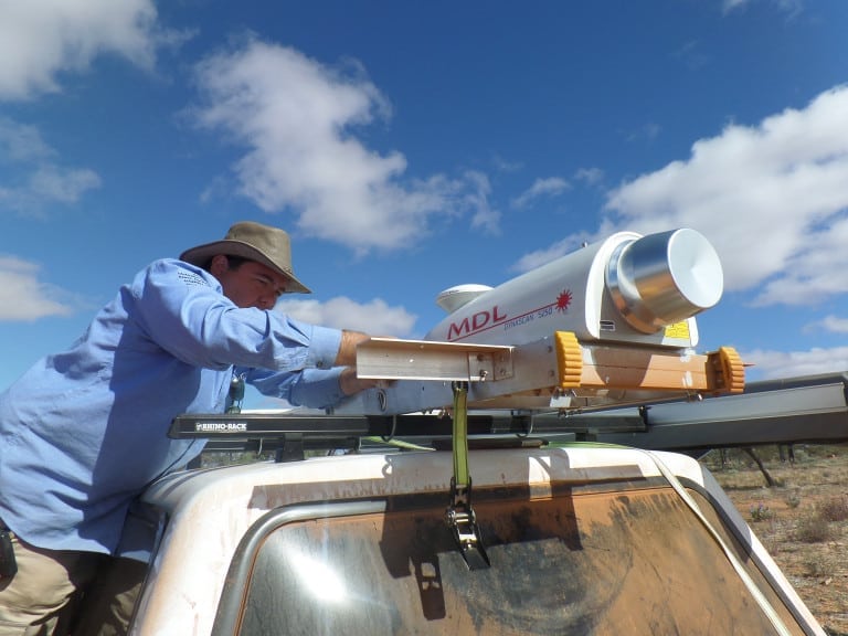
Photogrammetry gathers non contact imaging and other sensor systems such as LiDAR (Light Detection and Ranging) and radar, to provide reliable information about the Earth. Laser Scanning is an active system which works by sending out a laser beam (either pulse or modulated). The beam hits a surface and reflects back to be detected by the laser scanner to be converted to a 3D point model.